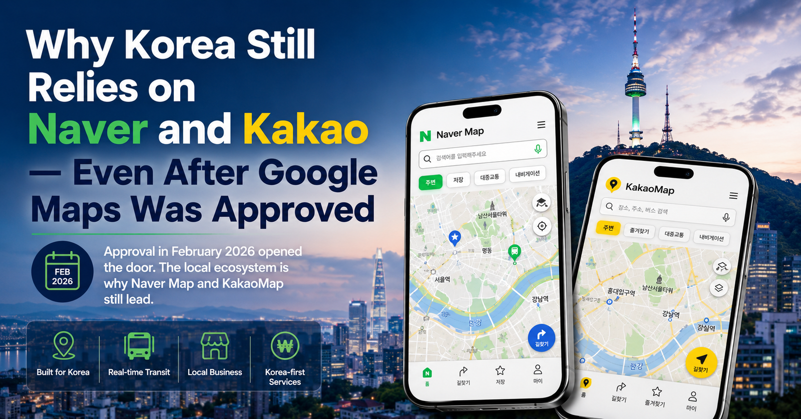
Why Korea Still Relies on Naver and Kakao — Even After Google Maps Was Approved
Quick answer
In February 2026, the Korean government conditionally approved Google’s long-standing request to export high-precision map data. That approval did not immediately fix Google Maps in Korea. As of this writing, Naver Map and KakaoMap remain the tools locals and Seoul’s own city government actually recommend for getting around.
Google Maps was approved in February 2026, but that did not mean instant change
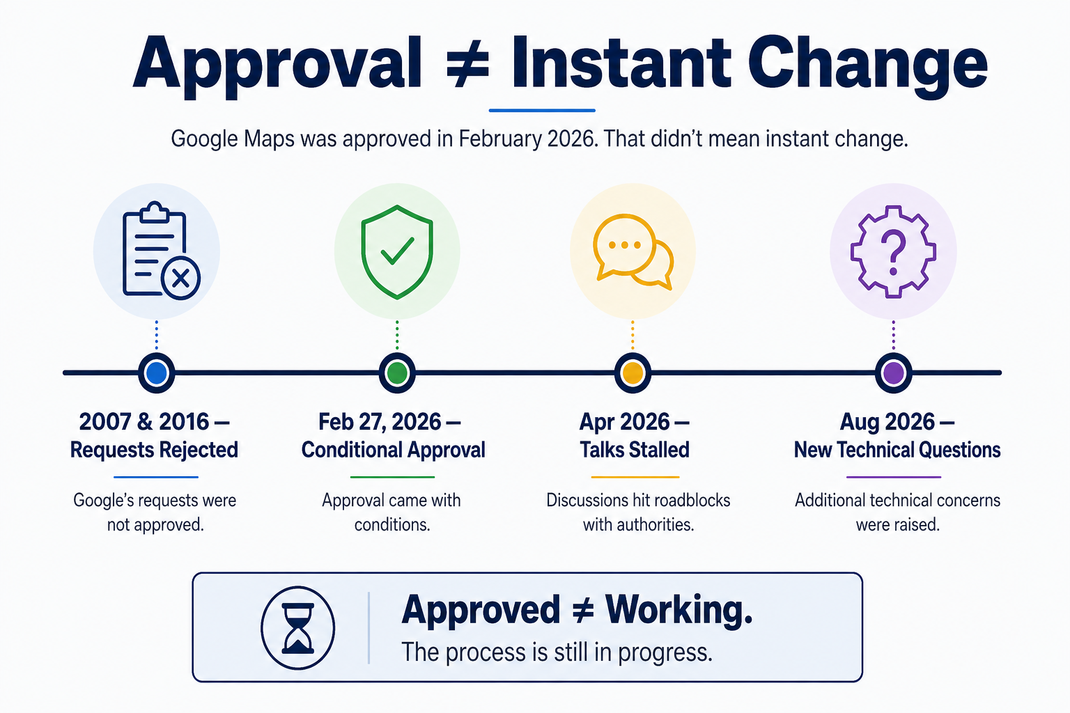
Korea has restricted the export of its 1:5,000-scale precision map data since long before Google Maps existed, citing national security given the country’s position relative to North Korea. Google formally requested access in 2007 and again in 2016. Both times, the government said no.
On February 27, 2026, that changed on paper. A government committee made up of representatives from the National Geographic Information Institute, the National Intelligence Service, the Ministry of National Defense, and several other agencies voted to conditionally approve the export.
The conditions are not minor. Satellite and aerial imagery of Korean territory has to be security-processed before Google Maps or Google Earth can use it. Sensitive data like topographic contour lines is excluded entirely. The raw data has to be processed by a domestic partner company on servers located inside Korea, with the government reviewing what actually leaves the country. Google has to build an emergency shutdown mechanism for security threats and keep a locally based officer responsible for Korea’s map data.
Approval was never the same thing as an upgrade landing on your phone. It opened a door. Walking through it turned out to be a separate, slower process.
What happened after the approval?
By April 2026, government and industry sources were describing the follow-up talks as stalled, roughly two months after the approval, with no agreement on how the data should be stored, transferred, or used.
By August, implementation was still at the technical and compliance stage, with a new wrinkle emerging. According to Etnews, a domestic map-processing company had asked the Ministry of Land, Infrastructure and Transport how Street View imagery specifically should be handled, a question industry sources read as a sign that Google was working through the practical details of compliance. Street View itself isn’t directly covered by Korea’s mapping security law, but if it includes place data tied to specific buildings, that could reopen the same security questions the original approval was meant to settle. Industry sources expected Google to submit its implementation plan in September, though that is a projection, not a confirmed date.
None of this means the approval was symbolic. It means the distance between “approved” and “working” is still being measured in months, not days.
Why Naver Map and KakaoMap became so deeply embedded
Here’s the part a headline about map data restrictions tends to skip: the restriction didn’t just block Google. It gave two Korean companies sixteen years, and counting, to build something that goes well beyond drawing accurate roads.
Naver built its map on top of the country’s biggest search and review platform. Many restaurant, cafe, and shop listings come with photos, verified-visit reviews, opening hours, and menu information drawn from Naver’s broader local-search ecosystem. KakaoMap developed alongside Kakao’s broader mobility and local-service ecosystem, giving it strong connections to the way Koreans search for places and move around cities.
Neither company was trying to out-map Google. They were building local search, transit, and place-discovery tools that happened to use a map as the interface.
Korea’s map apps are not just maps
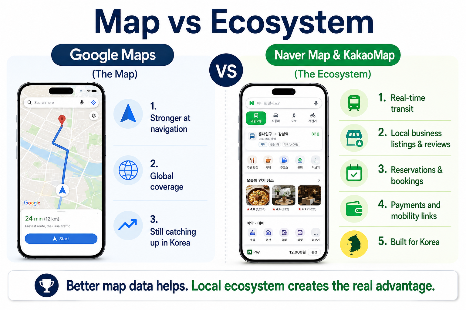
This is the actual gap foreign visitors run into. Someone arriving with Google Maps habits treats it as a navigation product: open it, type a destination, follow the line. Naver Map and KakaoMap function more like a layer sitting on top of Korea’s local internet, connecting real-time bus and subway data, business listings, reviews, and increasingly payment and booking, into one interface.
That difference is why visitors can find Google Maps less complete for local place discovery, detailed walking navigation, or up-to-date business information in Korea. It isn’t that Google’s engineers did a worse job. It’s that they were building on top of far less local data, for far longer than most people realize.
That ecosystem is still expanding. In June 2026, Naver began letting foreign visitors verify their identity with a passport scan, rather than a Korean mobile number, to make reservations, place orders, and pay through Naver Map. It is a small feature on its own, but it points at the same thing: Naver isn’t just improving its map. It is continuing to build out everything around it.
Seoul still officially points travelers to Naver Map and Kakao Map
This isn’t just something travel bloggers repeat. Seoul’s own city government tells visitors the same thing, in its own English-language materials.
The city’s Public Transportation guide advises that “Kakao Map and Naver Map offers shortest route information, public transportation recommendation, and live bus tracking all at once,” and points to them as a way to check real-time bus arrivals. When Seoul launched its Hangang Bus river ferry service, the city’s official English guides pointed to the same two apps for real-time schedules, remaining seats, and weather-related cancellations, since the service doesn’t accept cash.
If Seoul’s own transportation authority is routing residents and visitors through Naver Map and KakaoMap for basic, practical information, that says more about where the ecosystem actually stands than any single restriction ever did.
What Google Maps still has to catch up with
Assume, for a moment, that the data export goes smoothly and Google Maps eventually gets the same precision-level map data Naver and Kakao already use. That would close the technical gap. It would not close the ecosystem gap.
Years of user-submitted photos and receipt-verified reviews built out local business listings that can’t simply be imported. Real-time bus and subway data flows in directly from Korean transit operators, not from a third party trying to reconstruct it. Search results reflect Korean-language behavior in ways a global product wasn’t originally built around. And both apps already sit inside a stack of things Korean users use daily, from payment tools to taxi-hailing to, now, river ferry bookings.
Better map data helps Google catch up on the navigation side. It doesn’t hand Google sixteen years of accumulated local data and user habits.
What this means for travelers right now
If you’re planning a trip to Korea in the near term, the practical advice hasn’t changed: install Naver Map, and consider KakaoMap as a backup, particularly for real-time bus tracking. Don’t assume the February 2026 approval means Google Maps will work the way it does at home by the time you land. As of this writing, it doesn’t yet.
For the bigger picture — including when to use the subway, bus or taxi and how T-money fits into the system — see our first-timer guide to getting around Seoul.
For a full comparison of what each app actually does well, see our Google Maps vs Naver Map guide.
Will Google Maps eventually replace Naver or Kakao?
Probably not soon, and maybe not at all, at least not the way it has in most other countries.
Google won permission to access better map data. It did not inherit the local ecosystem Naver and Kakao spent years building. Precision map data is a real barrier, and removing it matters. But it was never the only reason two Korean companies became the default way people find their way around their own country. Even after that barrier comes down, in whatever form it eventually takes, Naver and Kakao will still have the search data, the review data, the transit integrations, and the habits of a large domestic user base that has spent years using these services.
The restriction is being lifted. The advantage it helped build isn’t going anywhere just yet.